What do latitude and longitude actually tell us?
Latitude describes how far north or south a position lies relative to the equator. Its range is −90° to +90°. Longitude describes east or west relative to a reference meridian, with values from −180° to +180°. Together they locate a point on a reference surface; neither number describes a road, a floor in a building or whether you can reach the point.
Positive latitude means north, while negative means south. Positive longitude means east, while negative means west. A minus sign is therefore meaningful, not decoration. If a pair looks plausible but lands on another continent, check its signs and order before adding more decimal places. Zero is valid: 0° latitude is the equator and 0° longitude is the prime meridian.
How did the world agree on a common meridian?
For centuries, sailors could estimate latitude from the Sun and stars more readily than longitude. Longitude required comparing local time with time at a reference location. An error in the reference time became an error in east–west position, which made reliable marine timekeeping a practical navigation problem rather than an abstract mathematical puzzle.
In 1884, the International Meridian Conference adopted Greenwich as the common prime meridian. A shared starting line made charts, navigation and timekeeping easier to coordinate. Modern satellite-based reference systems do not place their zero line exactly on the historic telescope line at the Royal Observatory. Both belong to the history of measurement; modern GPS coordinates should be interpreted in their modern reference system.
When we paste a pair into a map today, we are using the outcome of that long effort to make observations comparable. A common datum and an agreed notation allow a photograph, a field note and a mapping application to refer to the same place without requiring each user to invent a local origin.
How do DD, DMS and decimal minutes convert?
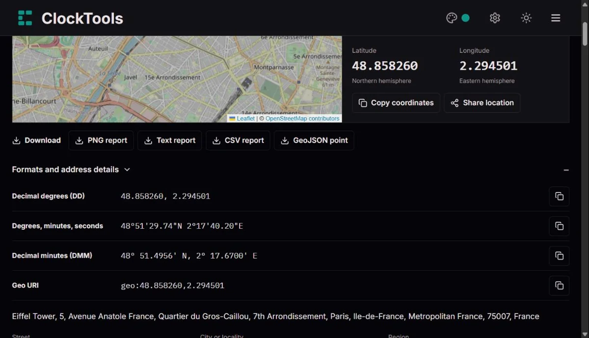
One degree contains 60 minutes, and one minute contains 60 seconds. To convert DMS to decimal degrees, add degrees + minutes ÷ 60 + seconds ÷ 3600, then apply the south or west sign to the complete result. Decimal minutes keep the degree whole and put the remaining fraction into minutes. These are angular units, not minutes and seconds of elapsed time.
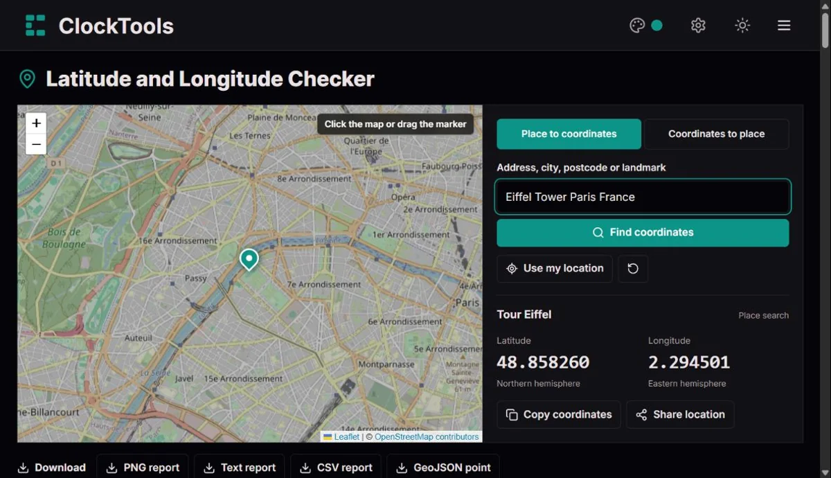
For example, 48° 51′ 30″ N becomes 48.858333° to six decimal places. The same latitude is 48° 51.5000′ N in decimal minutes. If rounding produces 60 seconds, that becomes another minute; if a minute becomes 60, it becomes another degree. Our converter handles those carries so the displayed notation remains valid.
| Decimal degrees (DD) | Degrees, minutes, seconds | Decimal minutes (DMM) |
|---|
48.858333 | 48° 51′ 30″ N | 48° 51.5000′ N |
-33.850000 | 33° 51′ 00″ S | 33° 51.0000′ S |
-74.044500 | 74° 02′ 40.2″ W | 74° 02.6700′ W |
Do six decimal places mean an accurate location?
No. Precision is how finely a number is written; accuracy is how closely it represents the actual position. A carefully typed six-decimal pair can still point to the centre of a building instead of its entrance. A browser can also return a precise-looking number with a large uncertainty radius. Check the source and reported accuracy, not just the number of digits.
A degree of latitude spans roughly 111 kilometres, with some variation across Earth. Longitude spacing shrinks towards the poles because meridians meet there. At the equator, 0.000001° is approximately 0.11 metres in either direction; that is a notation interval, not a promise of centimetre-level positioning. Indoors, weak signals and device hardware can dominate the actual error.
Why can a valid point fall outside the map?
Latitude remains valid all the way to ±90°, but the rectangular web map used here does not cover the poles. Its Mercator view stops near ±85.0511°. We keep polar coordinates available for copying and exporting rather than moving the marker to an incorrect latitude just to make it visible.
The antimeridian is another useful edge case: +180° and −180° longitude describe the same boundary. When you click a repeated world on the map, we bring the longitude back into the conventional range. Near this boundary, a small movement can switch the displayed sign without moving the point across the world. Map projection and coordinate notation are different things.
Why is the returned address not always the exact point?
A map database may know a street, a building outline or a nearby named feature without knowing an entrance at your coordinate. Reverse lookup returns a mapped description associated with the area; it does not prove ownership, occupancy or access. In rural areas and on water, a usable coordinate may have no conventional address at all.
Keep the selected point and the address description separate. For a delivery or meeting, inspect the map and add practical directions. For legal boundaries, emergency response or surveying, use the relevant official service and qualified professionals. Our checker helps interpret and exchange coordinates; it does not certify a site.